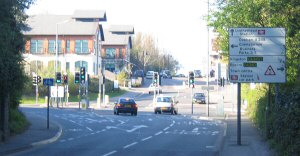
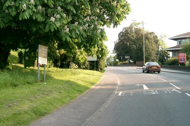
 entering from Kingston Road at Bull Hill |
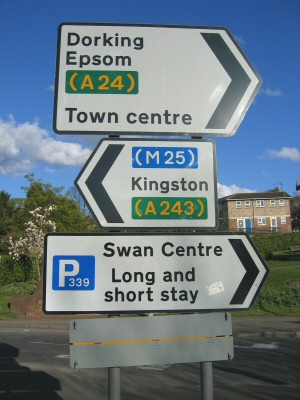
entering from Kingston Road at Bull Hill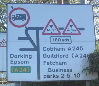 signs on right going up Bull Hill: one behind partially hidden in this shot (but not to drivers), however note foliage cover. |
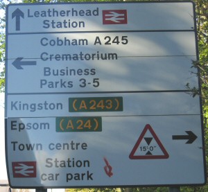
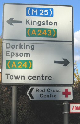
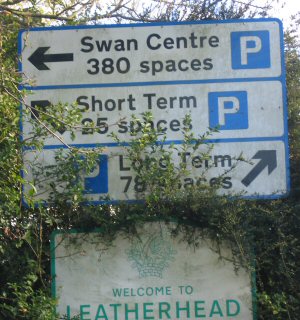
 full version of partially hidden in previous shot, on right going up Bull Hill |
 there is a sign above the one in the middle - see left below |
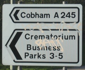
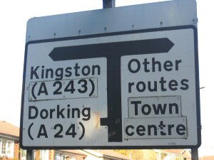
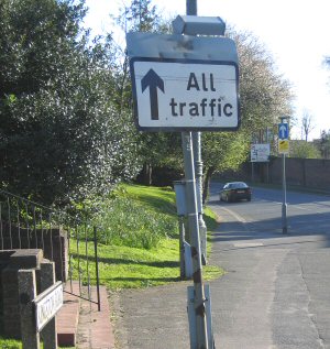
 the hidden sign close up: on left going up Bull Hill |
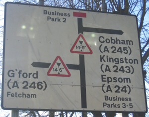
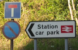
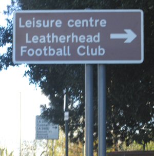 on right going up Bull Hill: see next left for detail of one in distance |
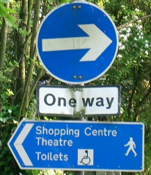
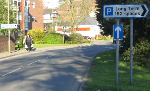
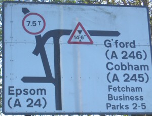
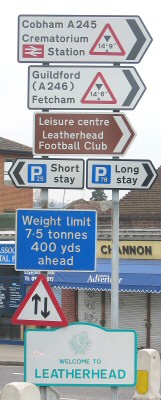
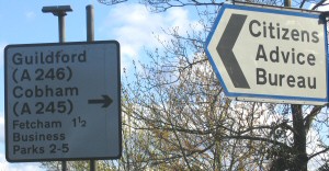 on right, top of Bull Hill |
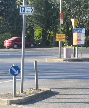
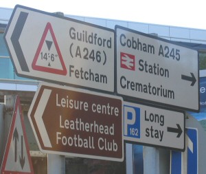
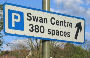
 island: top of Bull Hill/Station Road/North Street intersection |